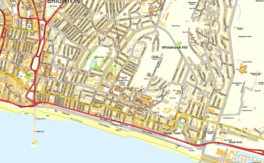
Kemptown (or Kemp's Town as it was originally known) is the name given to a 19th Century development of predominantly Regency style houses that is situated on the King's Cliff, which is the cliff to the Eastern side of Brighton's famous Palace Pier, on England's South-Eastern Coast.
Originally designed by Thomas Read Kemp, a famed property developer and Parliamentary Member for Lewes who lived between 1784 and 1844, Kemptown is a vibrant and quirky quarter of Brighton that has grown outwards from its original boundaries and is now unofficially classified as anywhere East of the Old Steine, South of Hanover and West of Whitehawk.
Boasting some fantastic shops, bars, clubs and restaurants, Kemp Town of the present day is not only very different from when it was created, but also has a railway which runs under it!
Whether it is widely known or not, this website might give a useful and detailed insight into one of the most talked about suburban branch lines of its day.