Comments (1) for this picture

This 
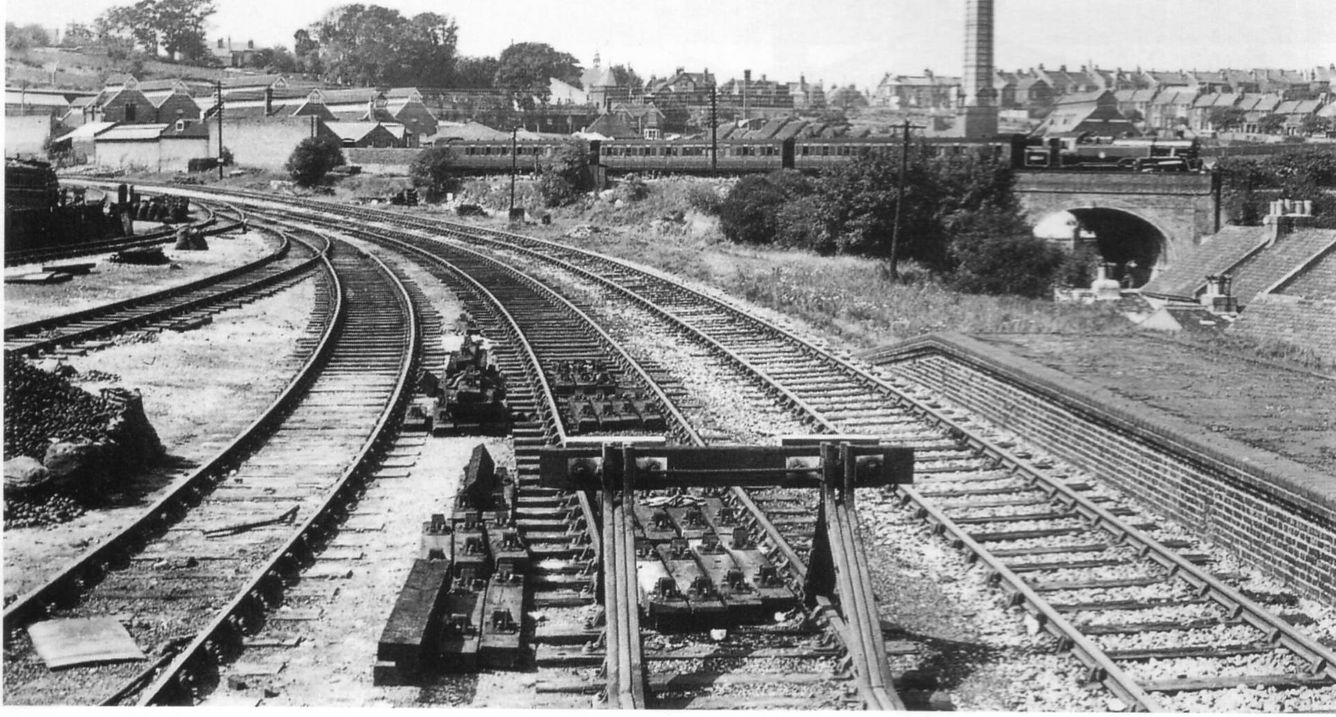
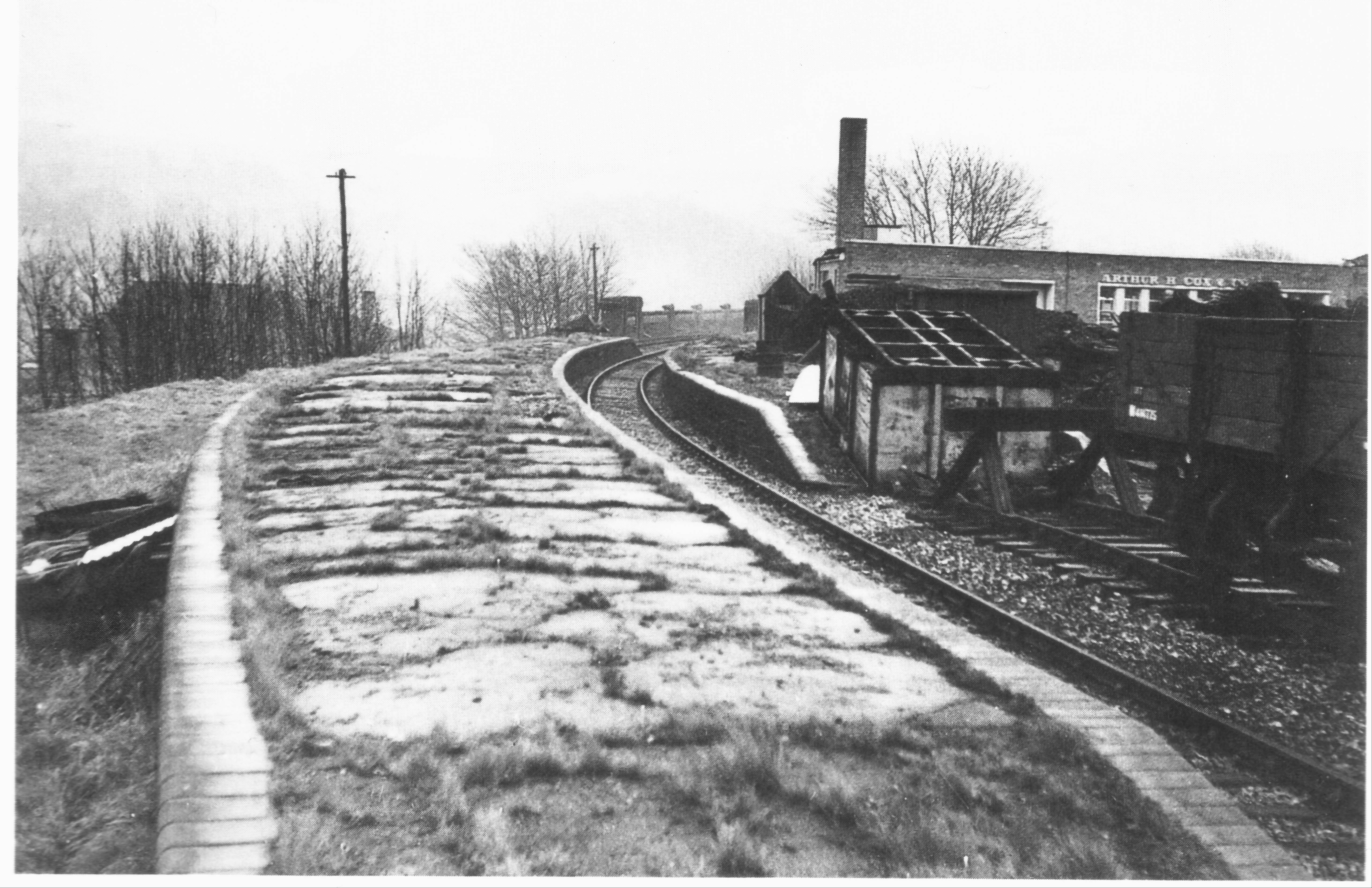
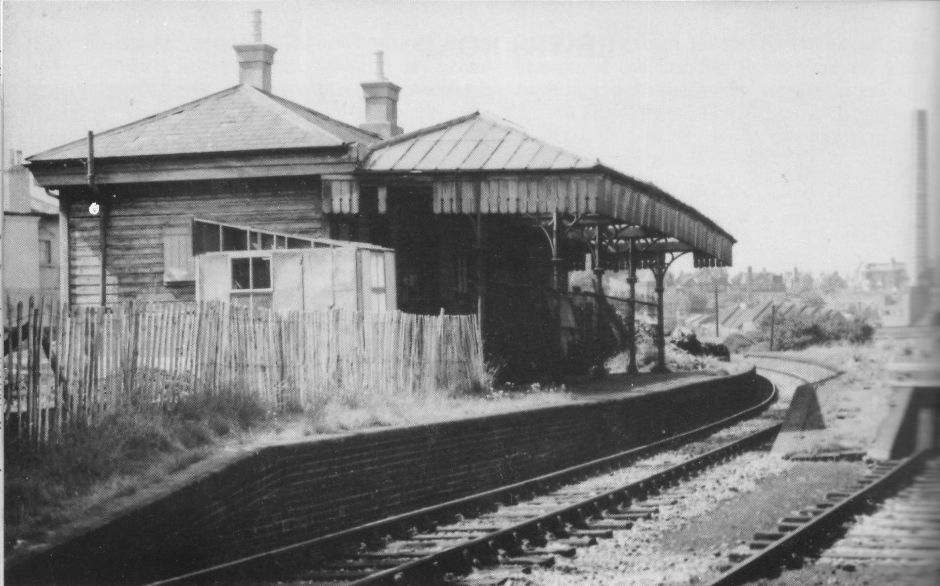
photo shows Lewes Road Station looking towards Ditchling Road. One of the houses in Richmond Road can be seen on the far left behind the main station building. Surprisingly, the redevelopment of the station and railway site has encroached very little on Richmond Road; apart from the area which was adjoining the forecourt, both the road and surrounding houses remain unchanged.

The station building went through various nefarious phases of alternative usage once the station closed down. For a short while it was used as a pickle factory, later (and more conventionally) as a builder’s merchant yard before eventual closure.

Photo by Mr. R.C.Riley, used here for illustration and personal research purposes only.


This picture (above) shows the view looking towards the junction of the Kemptown Branch and the Lewes Line. The 5 triangular roves in the top left corner are the Hollingdean Abattoir, now demolished. The chimney in the photo stands next to the Destructor, which is part of the council depot in the present day. The tunnel seen on the right of the photo is where the Lewes Line crosses Hollingdean Road and the houses leading up to it are still in situe in the present day. The houses on the skyline indicate the course of Ditchling Road on its way towards Fiveways.


This picture shows the remains of Lewes Road Station in December 1952 looking towards Kemptown. Note the chimney adjoining the building (Richmond House) in the top right corner: this is the building shown in the previous photo, albeit from a slightly different angle. This confirms the location of the station and platform in the present day. Note the sign on this building over the windows: “Arthur H. Cox & Co.” The curve of the viaduct can be seen in the dead centre of the photo and stands where the present day Sainsburys store and the dreadful Vogue Gyratory will one day be built.